I spy a Union Jack
by Michael Cameron
The San Juan Islands are an archipelago in the Pacific Northwest of the United States between the U.S. state of Washington and Vancouver Island, British Columbia, Canada. The San Juan Islands are part of Washington state, and form the core of San Juan County.
In 1843, the Hudson's Bay Company established Fort Camosun at nearby Vancouver Island. The 1846 Oregon Treaty established the 49th parallel as the boundary between Canada and the U.S. Both sides agreed that all of Vancouver Island would remain British, but the treaty did not specify which sea channel the boundary should follow, eventually resulting in a boundary dispute.
In 1855, Washington Territory levied a property tax on properties of the Hudson's Bay Company on San Juan Island, which the HBC refused to pay. Washington Territory then advertised and sold the properties to satisfy the unpaid taxes. This led to talks between the governors of Washington Territory and the Colony of Vancouver Island. It soon became clear that the US claimed Haro Strait as the international border, while Britain claimed Rosario Strait, with both sides laying claim to the San Juan Islands. The escalating dispute led to the Pig War in 1859. The boundary issue was eventually placed in the hands of Emperor Wilhelm I of Germany for arbitration in 1871. The border, through Haro Strait, was finally established in 1872, the islands were thus recognised as part of the U.S.
I thought the history interesting enough to include here, but fascinated to find out that as a direct result the island is the only place in the U.S. where a foreign flag is allowed to officially stand on its own, inevitably I had to go see for myself, and the resultant photo is included in our album.
Click the links below for the San Juan photos and/or videos
DATE: June 2004
CATEGORY: Photographs
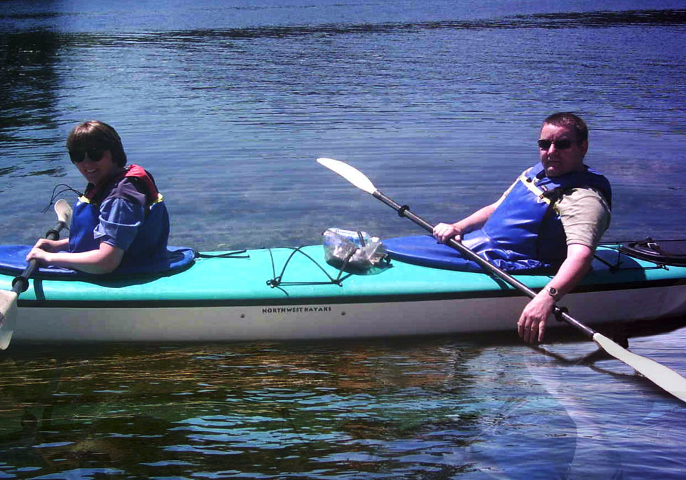
TAGS: USA, San Juan Island, Kayaking, Flag
- View the Photographs :
